
Caterserve Namibia cc
36 Nickel St, Prosperita
CATERSERVE NAMIBIA CC Location, WINDHOEK, Namibia. STATUS & ACCOUNT INFORMATION. Status, Active. INDUSTRY / ACTIVITIES. US SIC Core ..., and everything else. Find what you are looking for or create your ...
Culture in Namibia
View Business Listing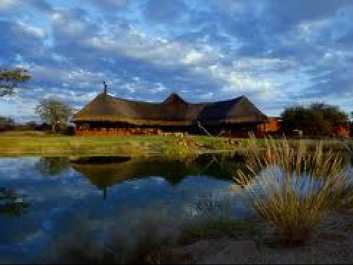
The Waterberg Plateau
Otjiwarongo Namibia
The Waterberg Plateau east of Otjiwarongo towers over the surrounding plains, being about 200 metres higher. The 20 kilometre wide and 50 kilometre long table mountain massif consists of porous sandstone. Rainwater trickles through the...
Namibia Attractions
View Business Listing
D-TOUR ADVENTURE SAFARI
Swakopmund
We are a tour and safari operator based in Swakopmund.We offer day trips to nearby tourist attractions as well as 3 or 5 day Safari tours.Day trips include:1. Cape Cross2. Moon Landscape / Namib Desert3....
Desert in Namibia Namibia Attractions Namibia National Parks
View Business Listing
Tintenpalast
Robert Mugabe Avenue, Windhoek
The Tintenpalast is the seat of the Namibian parliament since independence in 1990, however, it was always the seat of the legislative. The building was designed and built by Gottlieb Redecker between 1912 and 1913...
History of Namibia
View Business Listing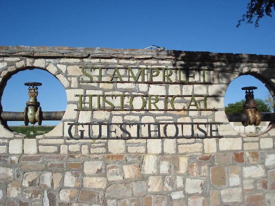
Stampriet Historical Guesthouse
Stampriet 60km east of Mariental
Stampriet Historical Guesthouse: Stampriet is a small village resting on the banks of the Auob River. The small town is perhaps best known for its fresh water springs (Artesian water) and magnificent Palm trees.It is...
History of Namibia
View Business Listing
Lehanru Accounting & Tax Services cc
70 Plato St Academia
Lehanru Accounting & Ta Services CCBullivant Accounting & Tax Services are providers of bookeeping, tax returns, payroll services and more within Johannesburg, Boksburg and Cape Town. for all your Accounting and Tax needs.
Namibia Visa Requirements
View Business Listing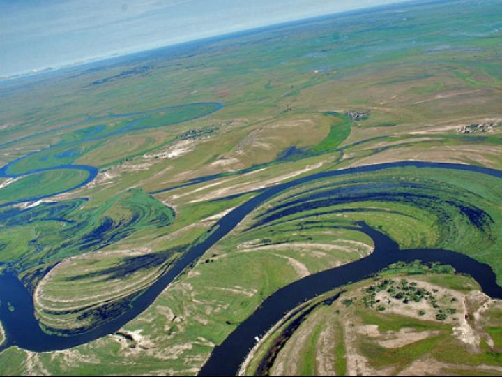
The Caprivi Strip
N\A
The Caprivi Strip's nerve-centre, Katima Mulilo, is closer to Lusaka, Harare or Gaborone than it is to Windhoek, and in many ways this region is more like the countries which surround it than like the...
Namibia Attractions
View Business Listing
Muller Frederick Dr
34a berg street klein windhoek namibia
Dr Frederick Muller is located in Horahora. Dr Frederick Muller are in the industries of Medical Specialists, Anaesthetists. Contact info and map details can be ...
History of Namibia Languages
View Business Listing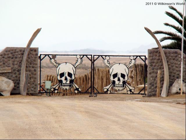
Skeleton Coast
Skeleton Coast
Namibia's Skeleton Coast is one of our planet's most beautiful places and is now host to one of our finest safaris. Over much of the past decade, access to this private area within the National...
Namibia Attractions
View Business ListingOMD 2030 & Tourism Info Centre
Oranjemund
Community Hub & Tourism Information Centre located in Oranjemund for all locals and tourists
Towns and Cities in Namibia
View Business Listing